NCC pulls together data in Eastern Canada to create open-access conservation planning tools
Written by Lindsay Day
October 22, 2019
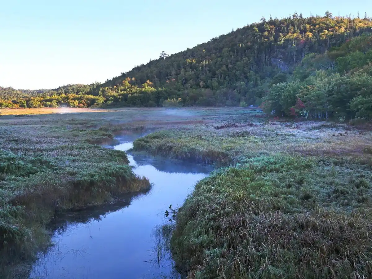
A key element of freshwater conservation is knowing where to prioritize ecosystem restoration and preservation efforts. With the Nature Conservancy of Canada’s (NCC) Freshwater Conservation Blueprint this just got easier in eastern Quebec, New Brunswick, Nova Scotia and Prince Edward Island.
Interconnected waterways, disconnected data
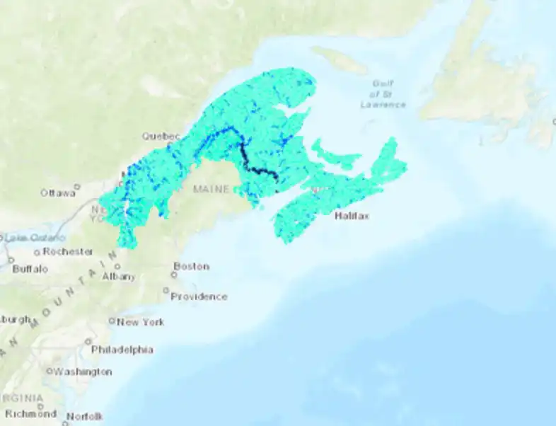
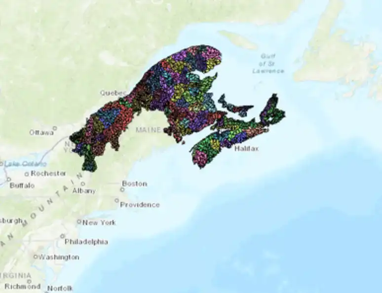
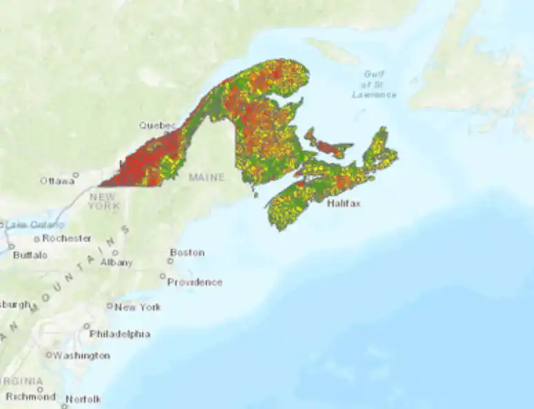
The Freshwater Conservation Blueprint is a collection of geo-spatial tools designed to support freshwater conservation planning in the Northern Appalachian-Acadian Region of Canada, an area spanning the Maritimes and Eastern Quebec.
Three years in the making, it required locating, accessing and synthesizing vast amounts data – of different types, and from different sources – across the region.
Fish don’t stop at provincial borders, but datasets often do.
“Most of our time spent on this project was either trying to access data, and then once we got it, trying to ‘crosswalk’ it so that the different provincial datasets spoke to each other,” recounts Josh Noseworthy, Director of Conservation Science at NCC. Because while fish don’t stop at provincial borders, datasets often do.
The Blueprint – which includes a stream and river classification tool, assessment of aquatic connectivity, and a watershed health index – synthesizes all this data so that anyone interested in freshwater conservation can identify priority areas for action to protect aquatic biodiversity.
“We were lucky that in some cases we had national or regional scale datasets that spanned across provinces, but for the most part we had to start piecing things together and that was a really big job,” adds Noseworthy.
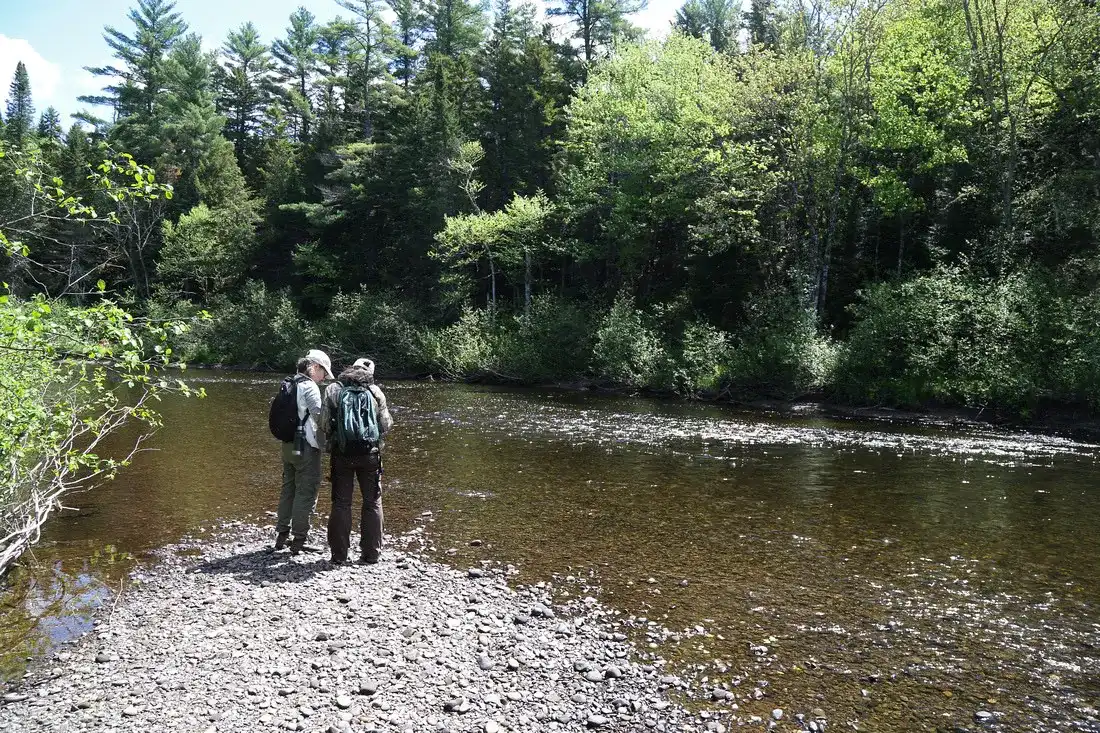
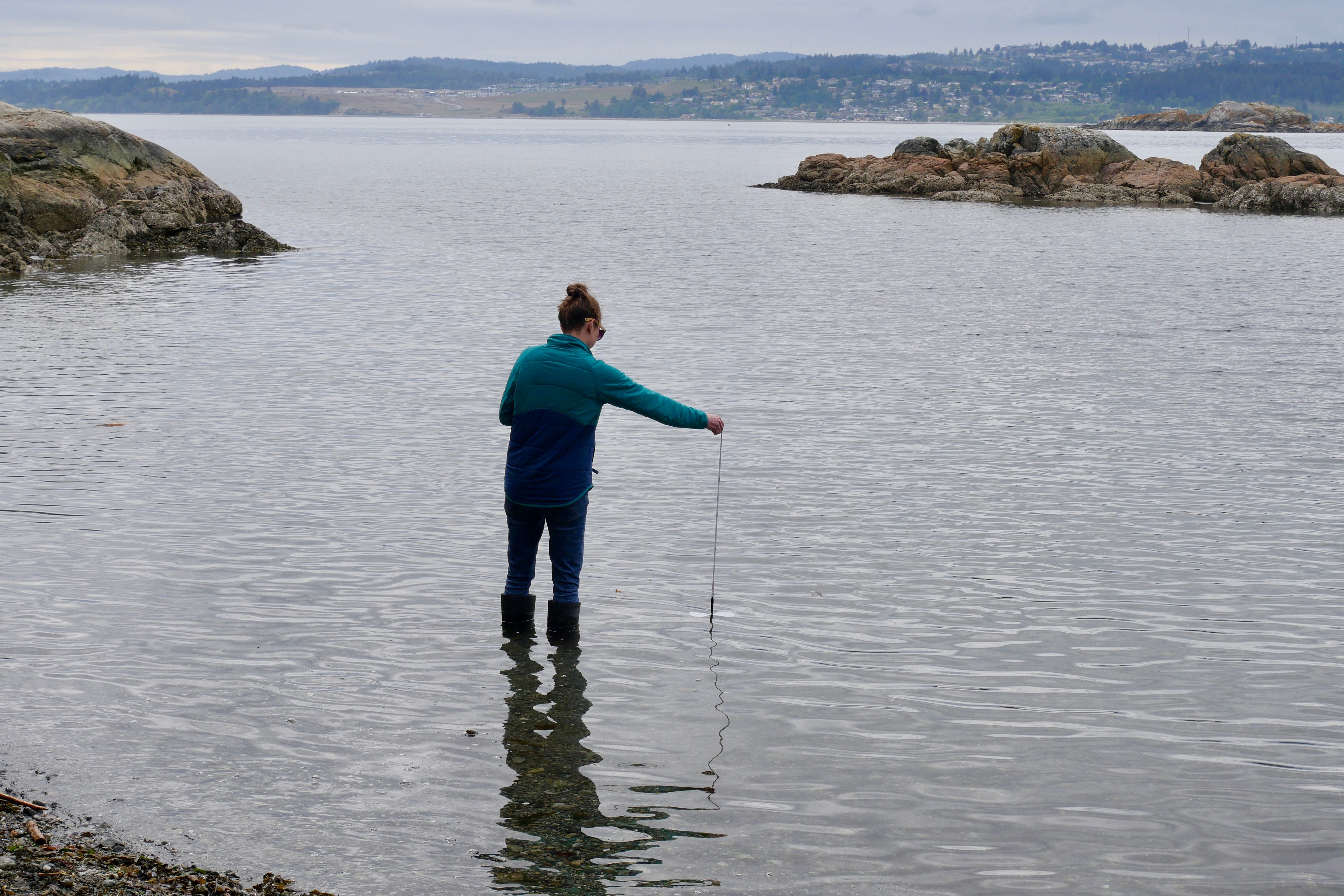
NCC staff doing field work at the Bartholomew River, near Miramichi, New Brunswick. Photo credit: Mike Dembeck
It’s here where open data hubs like DataStream can take a lot of the legwork out of the equation by bringing multiple sources of water quality data together in one place, in one standardized format.
“We put a lot of work into collecting different datasets to get the information we needed on water quality, so having DataStream available to us will make that process much simpler going forward,” says Noseworthy.
Not yet built when NCC was putting the Blueprint together, Atlantic DataStream launched in 2018 through a collaboration between The Gordon Foundation and the Atlantic Water Network. Today it hosts data collected by more than 30 different monitoring groups at over 2600 sites across Atlantic Canada.
Mobilizing open data for freshwater stewardship
Already the NCC Freshwater Conservation Blueprint tools are being used by others to inform stewardship action in Eastern Canada – from a protected areas network, to the development of a river water monitoring program.
When environmental data is open and accessible it means we can make informed choices about where and how best to protect freshwater ecosystems. It also helps drive the development of new tools that help us to do so effectively.
“The Blueprint project isn’t something we want to just sit on a shelf, so we’ll be looking to tap into DataStream to keep the information current,” says Noseworthy. “Ultimately, the more that people share data on DataStream the stronger the tool will become.”
About the NCC’s Freshwater Conservation Planning Blueprint tools
Three geo-spatial tools make up the NCC’s Freshwater Conservation Planning Blueprint for the Northern Appalachian-Acadian Region in Canada, an area spanning the maritime provinces and Eastern Quebec. These tools are freely available to use and download from the Northern Appalachian/Acadian Ecoregion Conservation Atlas :
Stream and river classification
This tool maps all rivers and streams across the eco-region and classifies them based on size, gradient (slope), alkalinity, temperature and tidal influence.
https://2c1forest.databasin.org/datasets/3fa5eb769b99496fad0c05c838c8823d
Aquatic connectivity
This tool maps every dam, culvert and tidal barrier in the region. Users can drill down to information specific to their interests, such as Atlantic Salmon habitat. https://2c1forest.databasin.org/datasets/a2097617294f49529f87c3630149d63c
Watershed health assessment
Using a watershed stress index that assesses data on 17 different stressors, this tool helps evaluate watershed health to identify priority areas for restoration and protection.
https://2c1forest.databasin.org/datasets/339f63ca00bf4e86aa1563d25de1185d
The results are in! DataStream's 2023 external evaluation
We asked for your feedback, and you delivered! DataStream is pleased to share the results of our 2023 external evaluation.
Job Posting: Executive Director
The Executive Director (ED) will play a pivotal role in leading DataStream at an exciting time of growth.
Join DataStream's Pacific Data Drive
Do you collect water quality data in British Columbia or the Yukon? If YES, we want to work with you!